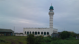
Cloud-covered Mt Kirinyaga seen from a maize farm
 Which city please?
 Boat from or going fishing...
 In case you don't know your Alliance from your Baobob
 Boarding the awesome Likoni ferry
 Your attention is drawn to the miraa base...
 mia
mia
Mombasa seen from the air
 Waiting to board fly540.com
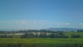 Tea farm, Kericho. Farm workers' houses in mid-ground
 Kericho town
 Kapsoit Junior, Kericho.
 Sun setting over Kopere hills
 Road to Oneno-nam Primary school
 Tangy mangoes in Songhor
 Maize, sugar farm near Kopere hills
 Sugar harvesting
 Chemelil Sugar factory
 Sugar fields. Kopere and Songhor hills in the back ground
 Sugar on its way to Chemelil Sugar
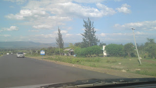 Turning at Awasi. A much better road
 Nyando river
 Rice field in Ahero
 Some of the lakeside eateries. A mbuta with kuon will set you back Ksh850
 The former Lake Victoria now disappearing under hycanith
K-city
 ...more K-city
 I hadn't realised Cittihopa operates outside Nai
 Kondele
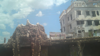 A K-city momento from PEV
 Approach to K-city and Lake Victoria
 One of the many large rock phenomena found in Western province. Missed the crying stones though.
... great use of the same by OMO
 Another river. Whose name I've forgotten...
 Kakamega
 Sunday worship. Malava-style
 Sugarcane transporter. The faster truck/lorry carrier is yet to be introduced.
 The unslick road to Kakamega
 Sugar growing in Webuye. Mt Elgon is in the background
 Livonda winter resort...
 The shut Panpaper needs to urgently re-open. It employs 35,000 directly and 80,000 indirectly in Webuye.
 Turbo- on market day
 Some river-whose name I've forgotten
 Sirikiwa, the hometown of the noisy Ruto, only place a noticed had more grasshuts than mabati houses
 Eld has grown fast since I was there some 7 years ago
 Heavy traffic in Eld.
 At least you can't miss the sign-post
 Turning to m-o-1 university
 Burnt Forest. Notice the charred remains of one of its tallest buildings.
 Maize ready for harvest
 The rolling valleys of Londiani
 The bane of every driver. 1kph trailers
 For some, PEV is still a reality. IDPs still waiting to be settled.
 Mau Summit. Notice the obiqitous Safcom mass
 Rolling plains of Molo
 Sachngwan memorial
 Uber-slick approach road to Nakuru town centre
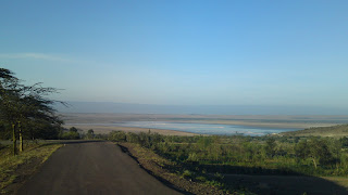 The fast disappearing Lake Elementaita
...same lake from another view
 Delamere farm with antelopes. While we are fighting over 2 acre holdings, this dude owns land stretching some 10km!
 Early commuters on the slick Naivasha/Nakuru road
 Beautifully green Mathira